The definitive statement and map are the official documents describing and showing the routes of all the public rights of way.
This includes footpaths, bridleways, BOAT (“Byway Open to All Traffic”), CRB (“CartRoad/Bridleway”) and CRF (“CartRoad/Footpath”) the latter two of which used to also known be as RUPPs (“Road used as Public Path”). These RUPPs have now been re-signposted as Restricted Byways under the Countryside and Rights of Way Act 2000.
A recent copy of the definitive statement is available for you to download.
Also available is a document from Natural England about definitive maps and the procedures involved in changing a public right of way. The Countryside Agency initially prepared the document.
The definitive map itself is subject to Ordnance Survey copyright restrictions and so can’t be made available online, but Amesbury Library has paper copies which can be inspected. Also, Wiltshire Council has a website showing the rights of way throughout the county.
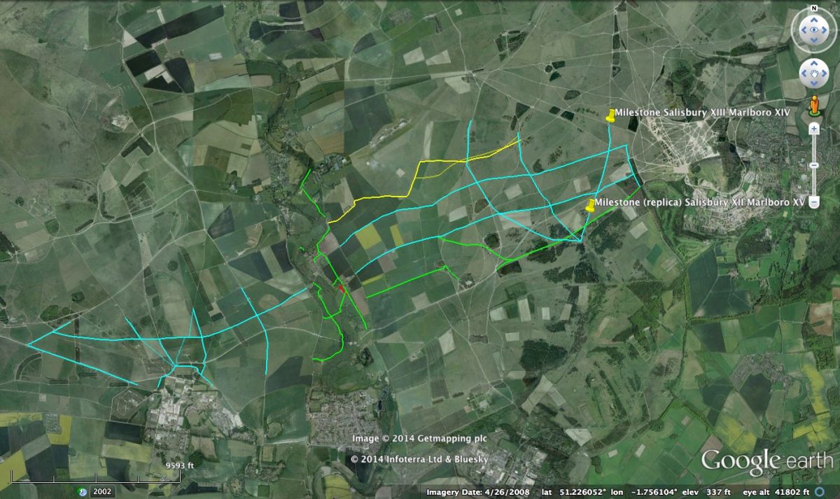
Please consult OS Map Explorer Series Sheet 130 “Salisbury and Stonehenge” if walking in the area.